- English
Languages:
This site is created using Wikimapia data. Wikimapia is an open-content collaborative map project contributed by volunteers around the world. It contains information about 32554917 places and counting.
Learn more about Wikimapia and cityguides.
Halesowen
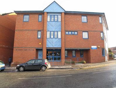
Halesowen became a Borough in its own right in 1936. This only lasted until 1974 when government reorganisation placed it under the Metropolitan Borough of Dudley. There is nothing really unique about the towns infrastructure. Halesowen had the heart ripped out of it in the 1960's building frenzy and suffered as a result. However, steps have been made to rectify this insult and the shopping arcade and side streets are almost pleasing on a busy day. The population, as measured by the United Kingdom Census 2001, was 55,273. Halesowen is included in the Halesowen and Rowley Regis (located in the neighbouring borough of Sandwell) Parliamentary constituency.
Halesowen was noted for its manufacture of nails. This was its main trade. It was a trade that was carried out in the back yards of Halesowen folk for years. Very much a domestic industry it was collectively on a large scale. Coal mines were the most recent industry. Like most of the neighbouring Black Country, Halesowen had its share of the mining trade. In total there were over a hundred mines in and around Halesowen.
Although predominantly urban or suburban in character, Halesowen borders on green belt land with excellent access to the countryside, for example the Clent Hills. It has extensive road links including Junction 3 of the M5 motorway, which allow easy commuting to Birmingham, other areas of the Black County or nationwide. The centre of Birmingham is approximately 30 minutes away by car and reachable with the number 9 bus.
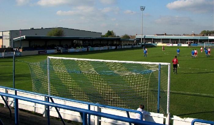
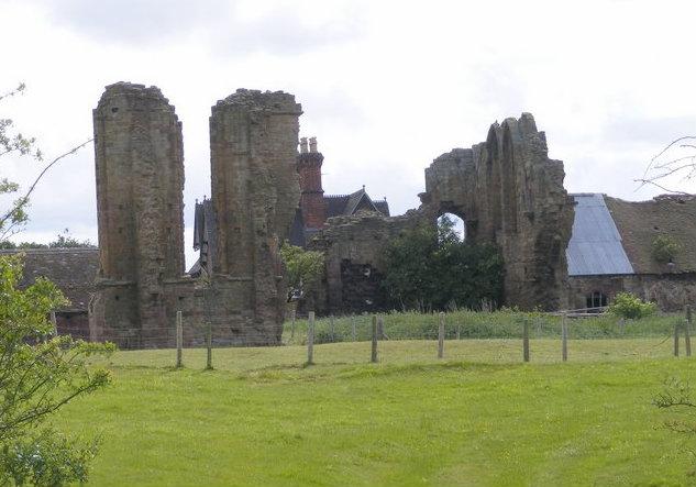
The centre of Halesowen is home to a Norman church, a football ground where non-league Halesowen Town F.C. play, locally known as the Yeltz and are one of England's oldest football clubs, and College of Further Education which was founded in 1939.
In 1974, Dudley Metropolitan Borough Council identified six historical suburbs, within Halesowen, which they signed accordingly with a series of gateway signs. In addition to the Town Centre, these are :Cradley, Hasbury, Hawne, Hayley Green, Hill & Cakemore, Lapal. A separate sign for Illey was added many years later. These are now represented on the Council by councillors elected from four separate wards (see outline map above), per Halesowen North, Halesowen South, Belle Vale and Hayley Green & Cradley South.
Further about the history of Halesowen see @:
www.birminghamuk.com/halesowen.htm
For detailed map of borough wards in Dudley as used in drawing attached polygon see : online.dudley.gov.uk/about/tellmeaboutmy/gismo/gismo.as...
Wikipedia article: http://en.wikipedia.org/wiki/Halesowen
Halesowen became a Borough in its own right in 1936. This only lasted until 1974 when government reorganisation placed it under the Metropolitan Borough of Dudley. There is nothing really unique about the towns infrastructure. Halesowen had the heart ripped out of it in the 1960's building frenzy and suffered as a result. However, steps have been made to rectify this insult and the shopping arcade and side streets are almost pleasing on a busy day. The population, as measured by the United Kingdom Census 2001, was 55,273. Halesowen is included in the Halesowen and Rowley Regis (located in the neighbouring borough of Sandwell) Parliamentary constituency.
Halesowen was noted for its...
 Reduce description
Halesowen on the map.


Recent city comments: